


19 Feb Tatra Hikes: Winter Trail to Teryho Chata – Slovakia
The hike to Teryho Chata is open all year long but we think that in winter it shines the most and you can expect some really cool sights. At the start of winter, we were lucky to find the Tatra Mountains shrouded in fresh white snow. When we started planning for this trip we were expecting cold and rainy weather and we were wishing for some sun and maybe a few snowdrops here and there, but we couldn’t imagine that we would discover the mountains covered in more than 50 centimeters of fresh snow.
Distance
18 Km
Total Time
8 h 00 min
Active Time
6 h 22 min
Vertical Relief
+1200 / -1200 m
Min/Max Altitude
1024 – 2066 m
Average Speed
2.9 km/h
Hike to Teryho Chata
We experienced a fantastic day. With blue skies and a bright sun over our heads we set out on a rather long hike for winter conditions but the end target was promising!
In Starý Smokovec you have the option to take the mountain train to Hrebienok which will take you for the amount of 9 euros/person (return included) for a small trip of about 2.3 km and 200 m vertical relief. Since we had enough time we decided to skip it and to walk all the way.
We gathered our gear and off we went. As we were slowly climbing alongside the train tracks behind us the clouds were gathering in the valley! The winter sun was bright but still very mild.

In Hrebienok we had a mandatory Tatra Tea break – because this is what mountaineering performance is all about, after which we continued in the direction of Bilikova Chata. The hut is really nice and it has a great view over the mountains. 1-2 photos and we continued onward.
The hike continues towards Rainerova Chata where we find a snow mountain giant in the making. Just like in fairy tales.
As a side note: Between Hrebienok and Rainerova Chata,there are two tracks, one that goes alongside the river and ads some vertical relief to the whole hike and another that is shorter and more direct. We chose the later for our return.
We continue to ascend slowly through the forest towards the next hut – Zamkovskeho Chata – following the same green markings. We stopped here for a coffee break.
After another segment through the forest the sun was shining bright and even though there were negative degrees outside the temperature was just right. Lots of people on this hike, many on cross-country skies, many with families and kids… it is nice to see so many enjoying the weekend out in the mountains!


As we enter the final part of the narrow valley we can see in the distance the small-small hut on the side of the mountain and underneath it a scary zig-zag track. It was clear that the final ascent was going to devastate our energy levels.
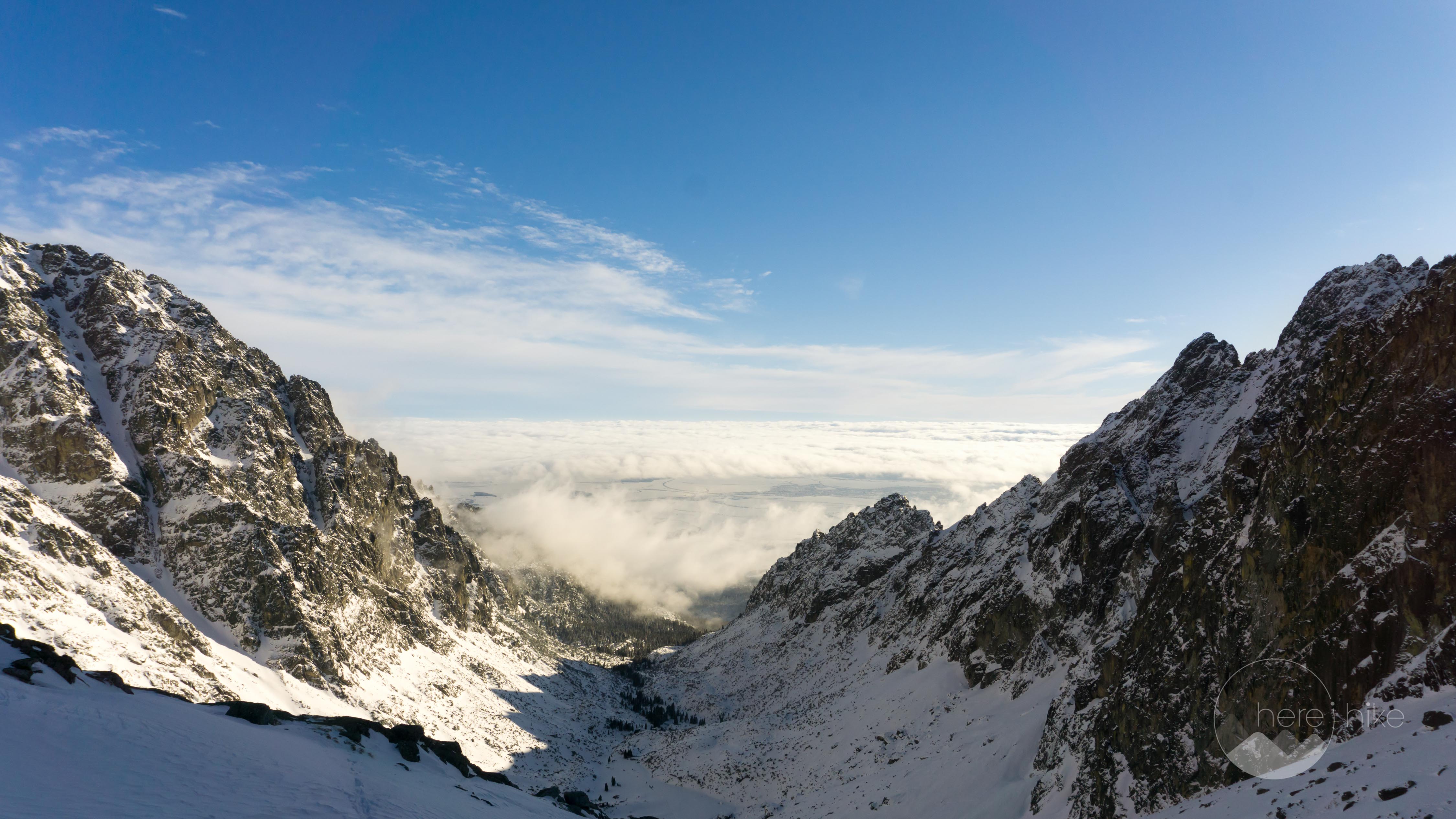
After some breaks and overcomes, we complete the final section. Behind us, as we expected from the start of the hike, the clouds were completely covering the valley and the resulting view was fantastic.
We were getting the impression that even though we were making progress the hut was always further and further. Pfff… the last ascent really messed with our minds :). Even though the snow levels were really high the path was hard and without ice so we had no problem moving forward. We saw people with ice-crampons and ice-axes, a bit too much in our opinion but everyone has a different level of safety in mind. It is true that in other, much colder weather conditions and taking into account the slope angle ice-crampons would be highly recommended.
Teryho Chata is located at 2015 m altitude and when we arrived we took some quick shots and ran fast inside to get warm. Even though we were relatively tired we were happy that we managed to reach our destination in good time. We were glad to see that even Silviu from Amazing Romania managed to get to the hut despite having trouble with his new pair of boots. What a pleasant surprise!


The hut serves most of the things you could wish for and all at a decent price.
After a short time to recharge our batteries and to get warm we left on the same track we came, through the excellent snow that made it possible to actually run on our descent.
We saved this bit for last! While we were descending Silviu (who remained back during the ascent) was telling us about a fox he met on the footpath. Just like that we also met the charming fox who was nesting underneath some rocks close to the path and that had some serious tourist mesmerizing skills. It was the first time when I fed a wild fox from my palm and the gorgeous animal wasn’t shy at all to accept the treat.


GPS track to Teryho Chata
How to get to Teryho Chata?
We got ourselves a nice apartment at Family House and Apartmany Zuzana in Stara Lesna village – a place we warmly recommend. From here we drove to the mountain resort Stary Smokovek where you will find multiple parking areas. The parking is about 5 euro/day per car.
Where to sleep?
A few words about our accommodation, it was great! Family House and Apartmany Zuzana is an excellent option in its price per quality range. We chose a 4 person apartment with 2 bedrooms, one small kitchen (equipped with all basic necessities), one bathroom and access to an interior balcony that ended up costing us 165 euros per 2 night per 4 persons. Fantastic, it was cozy, clean, warm and the host really helpful and kind, but we will leave the below images to convince you further.


Good to know
- The path to Teryho Chata is open all year round. Just keep in mind when you plan your hike that this a pretty long track.
- The train to Hrebienok is not really worth it from a price per time saved point of view. If you are not pressed for time you can consider this section as your warm up 🙂
- All huts you will encounter during this hike serve food and beverages and the prices are really decent: 5-10 euros for a main dish and about 2.5 euros for a beer.
- During peak periods (in summer and during the winter ski months) it is advised to have an early start because the parking places are not endless.
- For winter hikes we advise you to have ice-crampons with you, especially for the last ascent that can be tricky if it is full of ice.


Hope you found the information helpful and accurate, but remember, if you have any questions drop them in a comment below!
Other great adventures
-
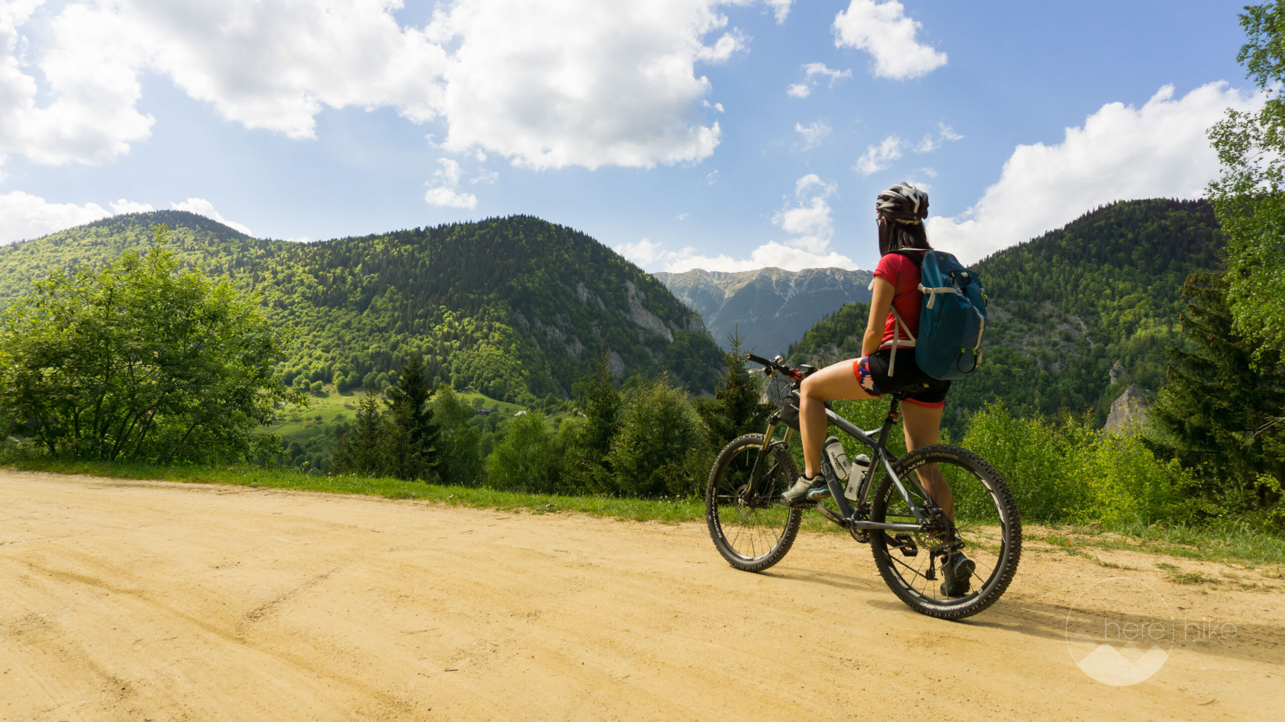
Transylvania MTB Ride: Sirnea
If you’re planning to visit Transylvania, particularly Brasov area and you’re also looking forward to some beautiful mountain biking routes, we totally recommend this one. A nice 50 km ride will enter...
-
Cycling around Dracula’s Castle – Piatra Craiului National Park
Dracula's Castle, an international landmark, is probably one of the most visited places in Romania but we are not going to talk about that. Nevertheless, we are going to talk about the cycling opport...
-
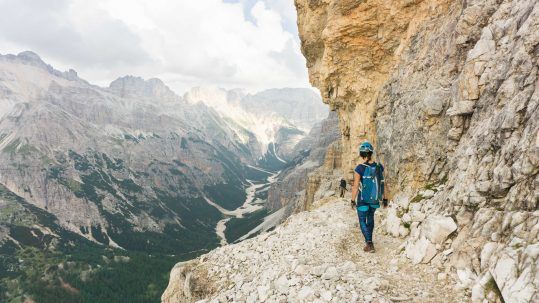
Italian Dolomites: Via Ferrata Giovanni Lipella (4C)
Via ferrata Giovanni Lipella is one of the most emblematic routes in the Dolomites. Not only are the views breathtaking but also the ferrata is a bit more challenging due to its length, altitude and e...
No Comments