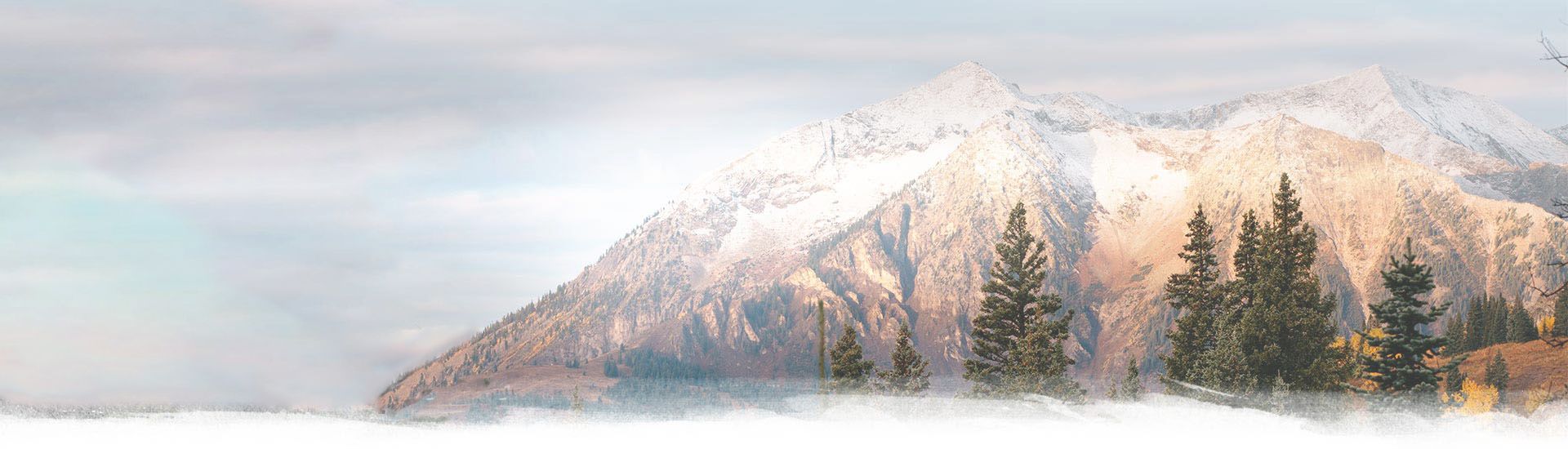
16 Jun Fagaras Mountains – Negoiu Peak Hike
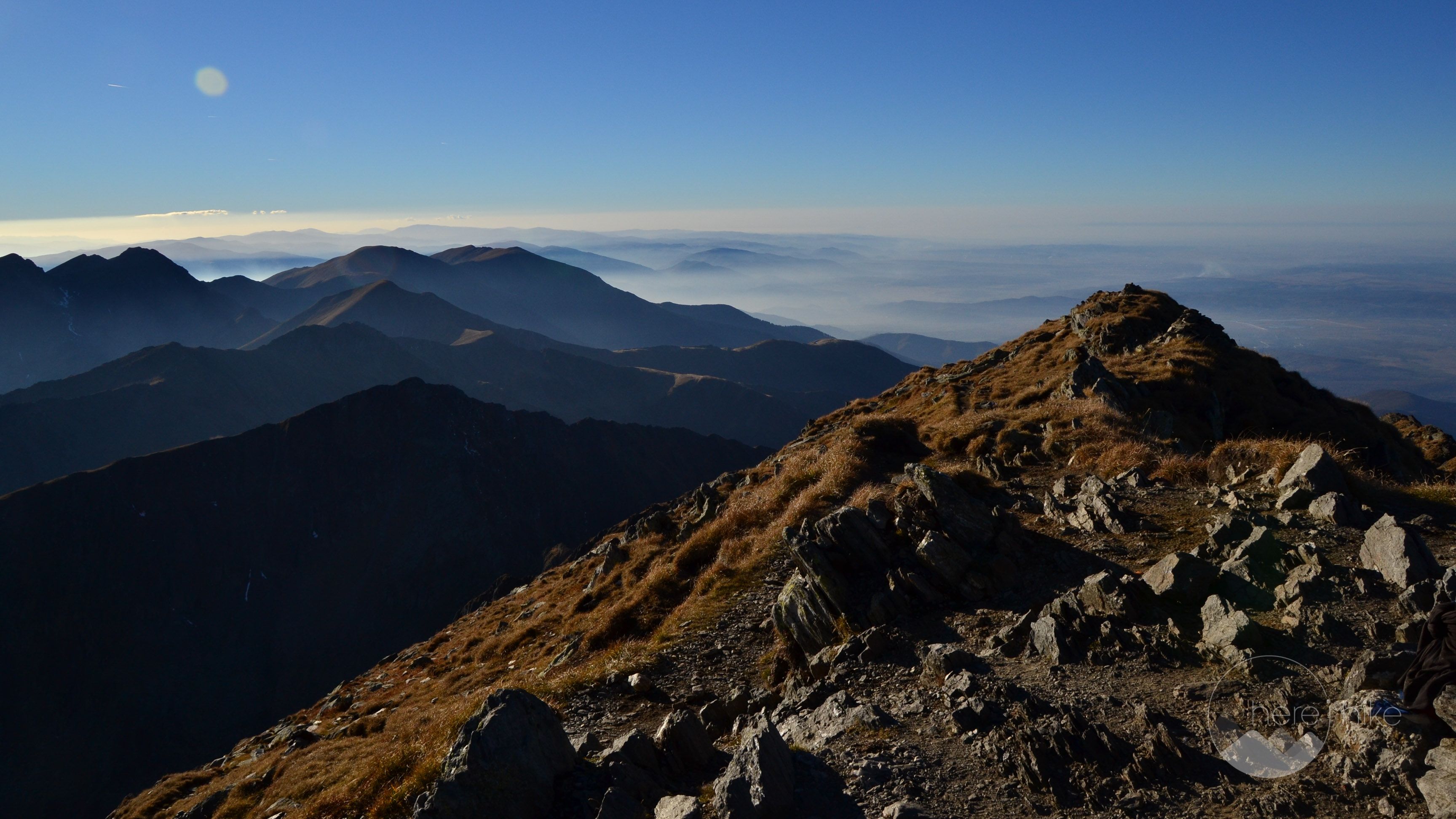
If you find yourself in the central region of Romania you shouldn’t miss one of the biggest attractions the Carpathian Mountain Range has to offer, Fagaras Mountains – Negoiu Peak hike via one of the highest alpine roads in the country, Transfagarasanul. Besides the impressive mountains and high altitude lakes in the area, that are something to be experienced firsthand, you should definitely drive the full length of the Transfagarasan, declared one of the best road in the world by BBC’s Top Gear. This amazing hike will take you on an alpine track set at an altitude of over 2000 meters in the direction of two glacial lakes, Balea and Caltun, and two mountaintops, Laitel – 2390 meters and Negoiu – 2535 meters. From the top, you will have a clear open view over Transylvania in all its might and over the surrounding peaks, so make some time and visit this place without a doubt.
Distance
15 Km
Total Time
12 h 00 min
Active Time
10 h 12 min
Vertical Relief
+1300 / -1300 m
Min/Max Altitude
2000 – 2535 m
Average Speed
2.1 km/h
Hike to Negoiu Peak
From the big parking lot, on the right side of the road, next to the tunnel at the top of the mountain, you will start the hike on the 

From time to time you will have some gorgeous openings towards Balea Lake so make sure you have the camera with you!
After reaching Saua Doameni, we will change the markings at the intersection. We will continue to the right on 
In the distance, on the right, we can see a few mountain lakes. As we continue we reach a perfectly flat camping spot from where you could study the night sky, Saua Paltinului.
From here we will continue on the 
After 3 hours walking time and a steep climb you will reach the first peak of this hike, Laitel.
Caltun lake is just 1 more hour walking time from here and mainly downhill. At the lake, you should make camp if you plan to sleep over the night. We left our heavy gear in the tent and started the ascent to Negoiu Peak on the
You have two options to reach the mountaintop, one via Strunga Doamnei. This is a longer path on the left side of the intersection that is much more easier / safer. Second option is via Strunga Dracului on the right side of the intersection – shorter but closed to tourists because of the rockslides that have damaged the chains. We chose to ascend via Strunga Dracului and to return on Strunga Doamnei. As such, at the intersection, we continued to the right on
After exiting the narrow path, you will reach Negoiu Peak in approximately 30 minutes.
For the return track, you follow the same road until you find an intersection, the 
The Negoiu Peak hike is a must if you are in the area!


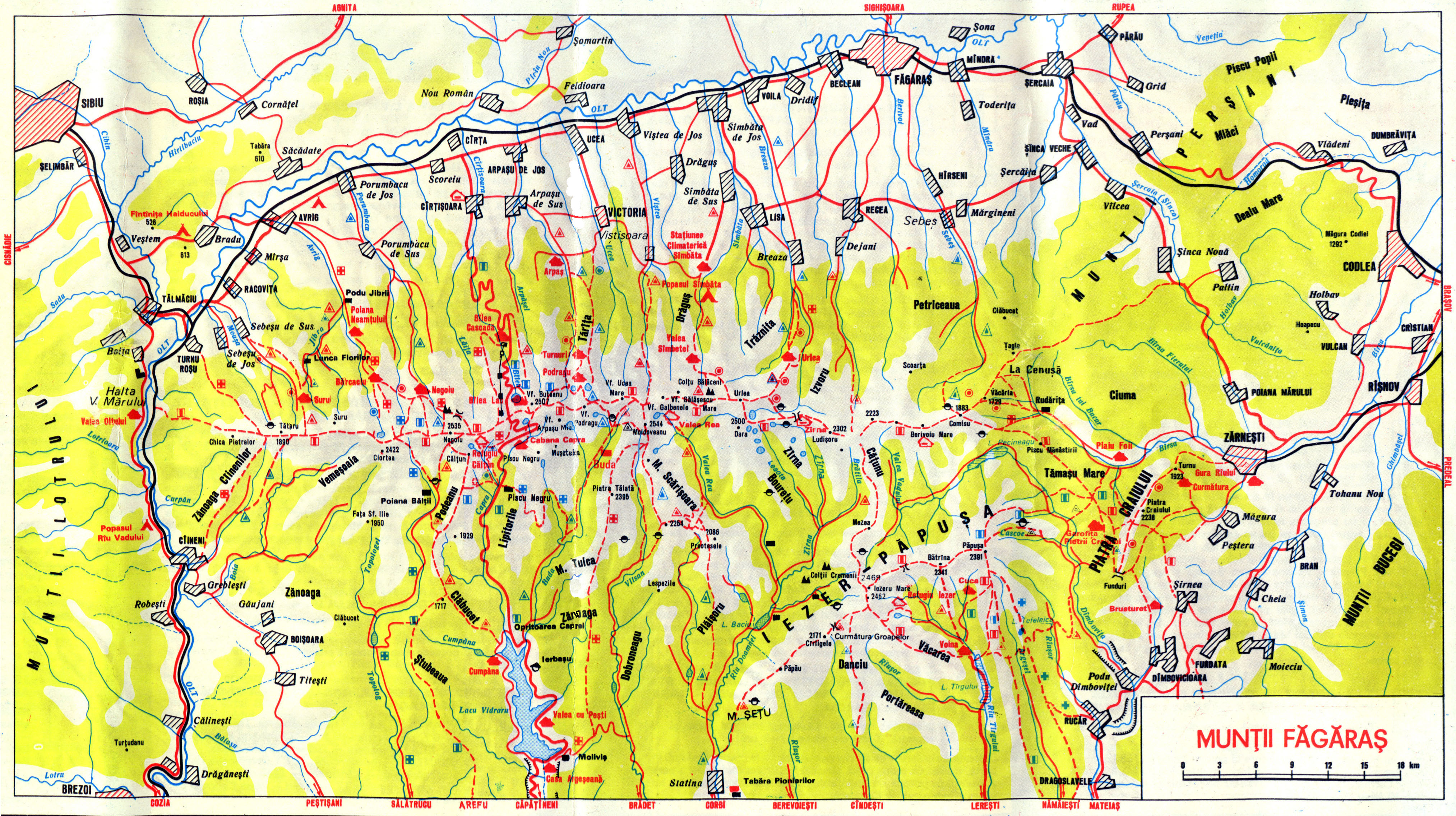
There are a lot of other destinations you can go to in the close vicinity, but for more info consult this map of Fagaras Mountains. You could plan a whole vacation in these mountains and only scratch the surface of all the hikes available in the region.


GPS track to Negoiu Peak
How to get to Negoiu Peak?
Getting on the Transfagarasan for the Negoiu Peak Hike is easy and the roads are in good condition no matter where you are coming from, but I will highlight the best route to get there if you are arriving from Timisoara. You should start the drive in the direction of Lugoj from where you can enter the motorway A1 for approximately 30 kilometers. Continue afterward on road E673 through Faget and close to Deva you will enter the motorway A1 again, this time for 140 kilometers. After Sibiu, you will head down E68 through Avrig and right after Scoreiu village you will make a right turn in the direction of Cartisoara and Transfagarasan. Drive up the mountain until you reach the top at Balea Lake and leave the car in the big parking place on the right. There is a parking fee of approximately 10 lei (2.5 euros) per day.
Where to sleep?
Besides the accommodation facilities at Balea Lake, there are no other chalets close by where you can sleep during the Negoiu Peak hike. As such you can either sleep by tent at Caltun Lake or in the newly built shelter there, but I strongly recommend using the last only in case of emergency. If you plan to do the trip in one day then you can sleep at Balea lake where you can book a double room at one of the few accommodations available (Paltinu or Balea Lac) for an average price of 190 – 260 lei (43 – 60 euro).

Good to know
As this hike is located at more than 2000 meters elevation you will not find any firewood to cook your food or to get warm. Bring a camping stove and warm clothes as the temperatures at night can fall close to 0 degrees even in the summer.
The precipitation level in these mountains is pretty high. As such I recommend to check thoroughly the weather forecast before planning your trip. Also do note that it is not uncommon to have some light snowy days even in August or September so pack accordingly in order to keep yourself warm and dry.
Before starting the hike, it might be a good idea to check with the Mountain Rangers at Balea if there is any snow on the path or if Strunga Dracului has been reopened to tourists.
If you do not have a car or if you visit this place during the winter season when the road is closed you should know that you can use the cable car that operates on a daily basis. The price for a round trip is 50 lei (12 euros) but check this link for a complete pricing table of the cable car.
Starting with December until march you can sleep at the Balea Ice Hotel for a fantastic experience. The hotel gets rebuilt every winter in a totally new layout and style. Even though the temperature in the room is around 0 degrees Celsius you will get pretty warm as you will receive pre-heated sleeping bags and many blankets. For a double room, you will pay around 400 lei (90 euros) but it’s something you will not forget anytime soon.
If you are an experienced skier you will love Balea because of the natural slopes that start at 2200 meters altitude and end at the start of the cable car roughly at 1200 meters. The slopes are as nature has made them with no interference from the hand of man so caution is advised!
Also during winter Balea freezes and you can ice skate on the lake in an enchanting landscape. You should bring your own skates as I am not sure you have the possibility of renting them.
Same as with sleeping you can find food only at the cabins and hotels at Balea Lake and as such you should bring everything with you. The prices at Balea Lac Hut are decent and a breakfast shouldn’t cost you more than 4 euros (15 lei).
There is no entrance fee for this hike or the Transfagarasan road.


Hope you found the information helpful and accurate, but remember, if you have any questions drop them in a comment below!
Other great adventures
-
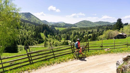
Transylvania MTB Ride: Sirnea
If you’re planning to visit Transylvania, particularly Brasov area and you’re also looking forward to some beautiful mountain biking routes, we totally recommend this one. A nice 50 km ride will enter...
-
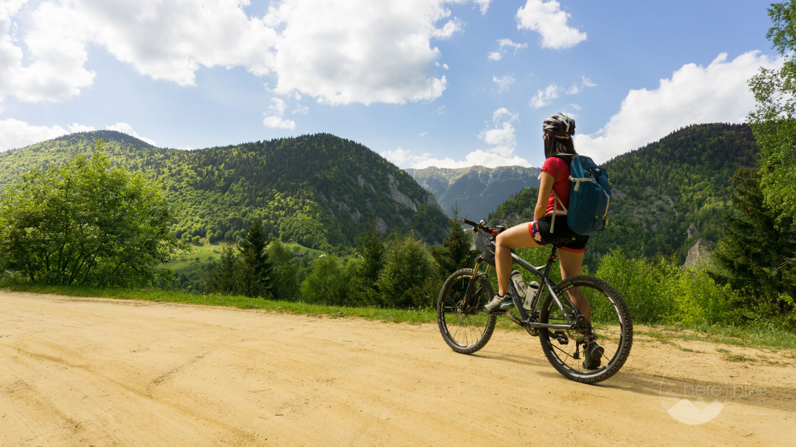
Cycling around Dracula’s Castle – Piatra Craiului National Park
Dracula's Castle, an international landmark, is probably one of the most visited places in Romania but we are not going to talk about that. Nevertheless, we are going to talk about the cycling opport...
-
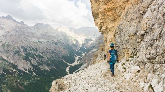
Italian Dolomites: Via Ferrata Giovanni Lipella (4C)
Via ferrata Giovanni Lipella is one of the most emblematic routes in the Dolomites. Not only are the views breathtaking but also the ferrata is a bit more challenging due to its length, altitude and e...
ElliotG
Posted at 08:07h, 09 JulyThis was great! Hoping to follow a similar route in September!
Alex
Posted at 00:06h, 12 JulyHi ElliotG,
Hope you had a great time on this hike! If you need any help with your future trips in Romania let us know and maybe we can come with some helpful tips 🙂
Have a great adventure!
ElliotG
Posted at 08:05h, 22 JulyHey Alex, thanks for the reply. Actually yes! I was looking at going up the Transfagarasan road to Lake Balea, then making my way all the way through west (stopping at Negoiu) and watching the train up to Sibiu.
What do you think? How many days should I rely on?
Something like this: http://imgur.com/wJtekB1
Alex
Posted at 19:48h, 22 JulyHi Elliot,
Nice hike 🙂 ! This is going to be really long so please send me you email address via the contact form of the site 🙂
Happy trails!
Unknown
Posted at 13:01h, 24 AugustHI,
First of all thank you for these detailed descriptions!! It is so helpful!
Can we do this hike in one day? How long will it take?
Karina Isar
Posted at 13:23h, 24 AugustHello there,
We are grad we could help. Yes, this is absolutely for sure doable in one day and with a good physical (and weather) condition and light packing it should take you not more than 8 – 10 hours.
Happy trails,
Karina and Alex