


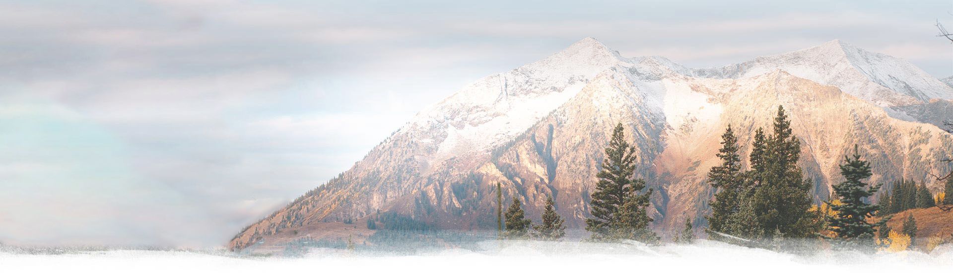
15 Apr Tarcu Mountains: Nedeia, Caleanu and Brusturu Peaks
How about spending two wonderful days in the Tarcu Mountains, one of the wildest mountains in Romania, remote and exquisitely beautiful! Discover the hike to Nedeia, Caleanu and Brusturu Peaks in Romania’s wonderland and go on your own adventure!
Distance
38 Km
Total Time
18h 12 min
Active Time
16 h 19 min
Vertical Relief
+1800 / -1800 m
Min/Max Altitude
657 – 2180 m
Average Speed
2.1 km/h
We planned to visit Tarcu Mountains and to hike Nedeia, Caleanu and Brusturu Peaks, a remote and less visited part of these mountains. Since there are no huts or accommodation facilities in the area we had to bring our tents, food and full water supply.

Our plan for the trip was to split the total distance of 38 kilometers in half and sleep midway in our million star view tents, at an altitude of 2000 meters. Even thought there are no technical parts the hike is hard due to the length and the fact that you need to bring everything with you.

Day 1: Poiana Marului – Nedeia Peak – Saua Scheiului

So, you found a right place to leave the car, maybe you bought a coffee and whatever you consider necessary from the little shop on the road here and you are ready to start! This is going to be a long hike so you better be prepared and have very comfortable shoes otherwise I would advise you not to jump into it!
We start the ascension from the approximate altitude of 600 m above sea level through quite a steep forest road wich will surely warm you up a bit for the first five kilometers. The track is very well marked with 
When you exit the forest, you will be at around 1500 m altitude already so the demanding part of the ascension is over. From here you will continue to climb but it will be smoother and you will also have wonderful panoramic views to keep you busy and forget about the effort.
After leaving the forest, there will be no trees, as such the marking will also be missing, but you can follow a footpath and make sure always to have the lake behind you (so go slightly South-East) and try to keep the path that follows the middle of the ridge. Also, you can use the Day 1 GPS Track to guide you if you want to be sure.

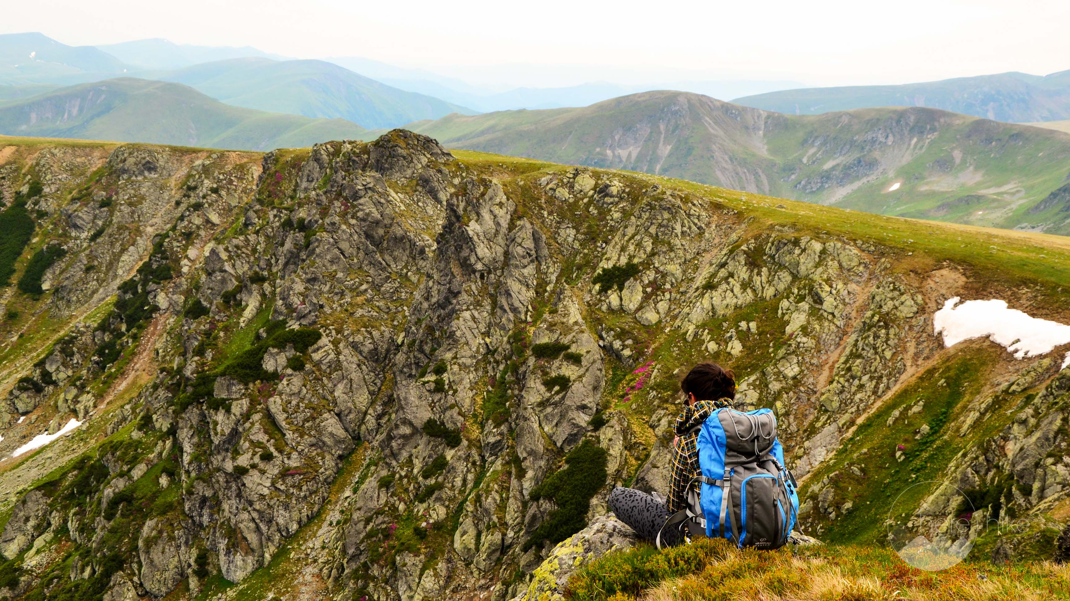
Before reaching Nedeia (or Matania) Peak you can admire on the right side as you go, Tarcu Mountains Peaks and on the left side some really impressive and very steep slopes. The landscape somehow relates to green Icelandic sceneries. Simply enchanting, although we have no elves here!

Somewhere around you will see the 
Further, get ready to meet Nedeia peak, with an altitude of 2150 m! The peak has no pronounced shape so you will probably be a little confused when you will be near and still won’t be able to spot it exactly. But follow the GPS track towards a rocky prominence you see a little on your front-left side. You will recognize it when you’ll get here! The advantage of this track is that is not so popular, so you will have the opportunity to really enjoy wild nature, silence and peace so I strongly advice you to take at least 10 minutes and just rest and admire the view. This is one of the places it’s so easy to fall in love with!

Return to the


After about two kilometers, you will see Pietrele Albe Lake on your left side, down in the valley. If you are tired and looking for a place to camp, you can go down there, if not, you can continue a bit further and look for another place to sleep, bypassing a little nameless peak through his left and reaching a small spring.
As an advice, try to find a place with rocks and build a little shield for your tent, as it can get very windy in the night.
In our two days hike, we stopped here and joyfully, tired and satisfied said Good Night!
Day 2: Saua Scheiului – Caleanu Peak – Brusturu Peak – Poiana Marului

I woke up very early in the morning to catch the sunrise for pictures and I was just surprised to see frozen dew on my tent in the middle of June.
No worries, as soon as the sun will come out, the summer will be back! Another nice thing that is absolutely magical in Romania is that most probably wherever you sleep outside in the mountains, you will always be waken up by the clicking noise of the sheep’s bells. Such a peaceful feeling!
So, breakfast and on our way! Where were we? Ah ok, following the

From here, if you look towards the left, you can see a big mountain with a tiny little building and an antenna on top, keep in mind, that one is Tarcu Peak – so easy to recognize because of its meteo station building. Somewhere around here, you will most likely find the 

Caleanu Peak is easy to recognize as it’s the only one from this track that has the name and altitude written on a board on it’s top.
Continue on

Carefully begin descending on the scree following the same


We follow the same marking and head toward the forest where we will begin descending on quite a steep dirt road.
After around three kilometers, you should encounter the 

There are a lot of other destinations you can go to in the close vicinity, but consult this overview map of the hiking routes in Tarcu.
- Brusturu, Caleanu and Tarcu Peak: 17 km, + 1500 m altitude difference.
- Saua Plaiului: 16 km, altitude difference of +1500m / – 100m.
- Saua Iepii – Gura Apelor Lake (Retezat National Park): 20 km, altitude difference + 1500m / -700m.
- Nedeia Peak, Seiu Peak, Prislop Peak, Saua Mlacile and Godeanu Peak: 30 km, altitude difference: + 2500m / – 800m.
- Muntele Mic Peak: 9 km, altitude difference + 1000m.
Where is this?
From Timisoara, you need to get to Poiana Marului Lake. Pay attention as in Romania there are other places that have the same name. Choose the one with the lake, from Caras Severin County. When you reach the lake, just follow its coast on the right side (so that you have permanently the lake on your left, as you drive) until you reach the village. Here you keep on Road 683, pass by Florina Guest House, the church and leave the car where you can find a parking place. The starting point for the ascend is marked by this sign
Where to sleep?
You must know there is absolutely no accommodation or restaurant and you need to carry all the necessary things with you, meaning: warm clothes (as during the night temperatures might go as low as -2 degrees even during the summer), waterproof clothes, tent, sleeping bag, food, water and don’t forget your camera, the place is amazing!
Other great places to sleep over in Tarcu Mountains:
- Cuntu Meteo Station: the forest is near (for shade) and you can find a permanent spring water source there.
- Tarcu Iezer: right under Tarcu Peak, you can find spring water to drink there.
- Suculetu Lake: under Caleanu Peak.
- Pietrele Albe Lake: between Caleanu Peak and Nedeia (Matania) Peak (on the right side as you go).
- Somewhere in Saua Iepii, probably an excellent spot to catch the sunset and sunrise.
- Under Brusturu Peak, there is a big private mountain cabin and there you can also find a spring.
- At Lake Poiana Marului.

Good to know
If you are a professional hiker, you could probably do this hike with no heavy backpack in one day. If not, then like most of us this will require two days and quite a heavy backpack.
As a must, after you leave the forest, there will be no place you can hide from the sunshine so don’t forget your sun blocker cream and protect yourself by using something to cover your head.
No restaurants, no shops, so make sure to bring everything you need with you!
There is no entrance or park fee for visiting the region.


Other great adventures
-
Transylvania MTB Ride: Sirnea
If you’re planning to visit Transylvania, particularly Brasov area and you’re also looking forward to some beautiful mountain biking routes, we totally recommend this one. A nice 50 km ride will enter...
-
Cycling around Dracula’s Castle – Piatra Craiului National Park
Dracula's Castle, an international landmark, is probably one of the most visited places in Romania but we are not going to talk about that. Nevertheless, we are going to talk about the cycling opport...
-
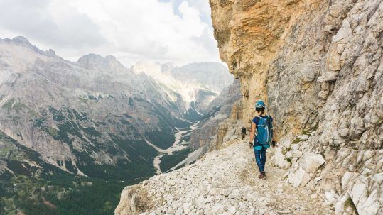
Italian Dolomites: Via Ferrata Giovanni Lipella (4C)
Via ferrata Giovanni Lipella is one of the most emblematic routes in the Dolomites. Not only are the views breathtaking but also the ferrata is a bit more challenging due to its length, altitude and e...
No Comments